Drone Roof Inspection in Olathe, KS
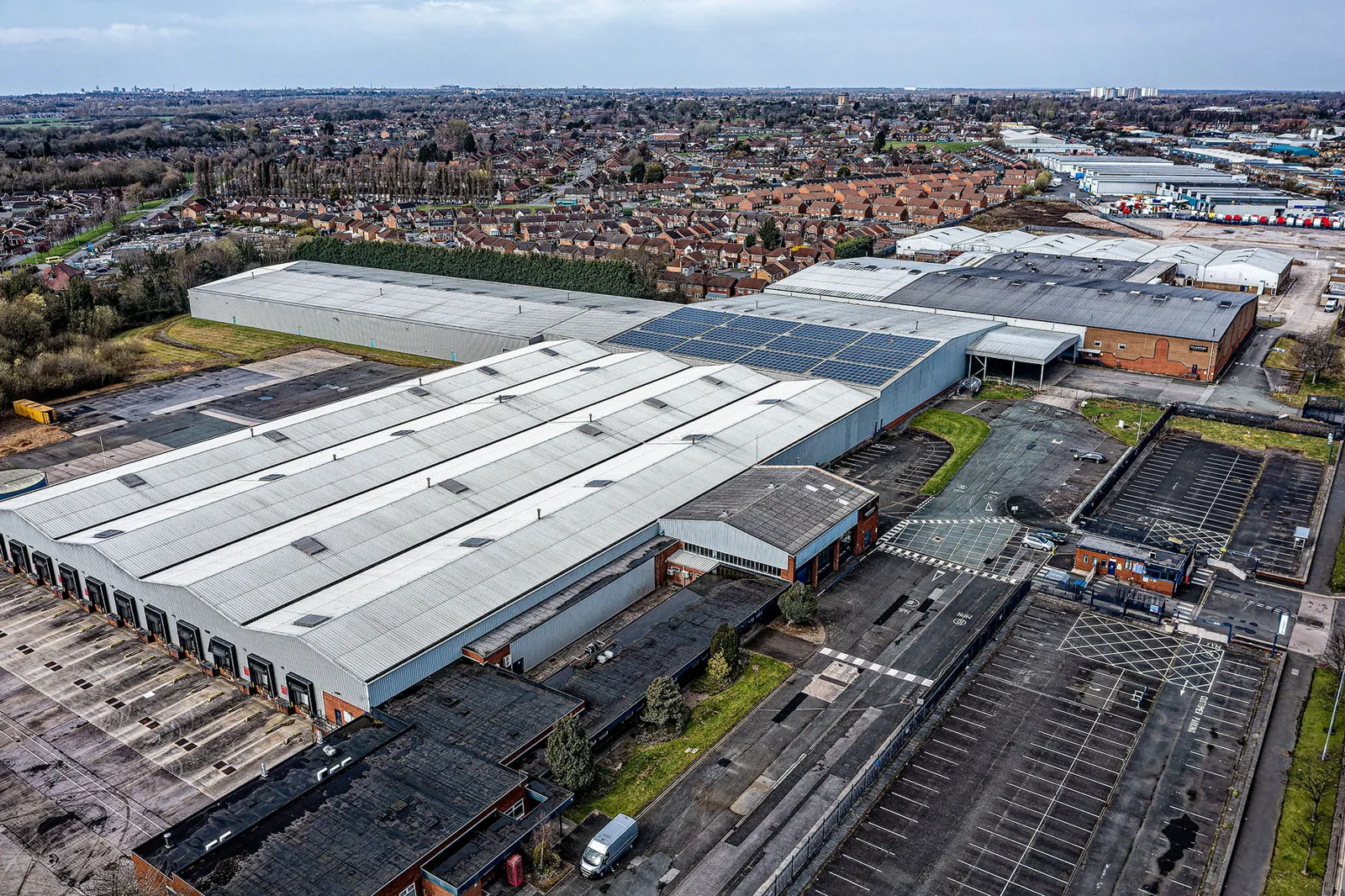
A roof plan can hide how much of the surface is difficult to view from a hatch or ladder. Drone imagery can document broad areas, equipment patterns, and visible surface conditions, giving an owner a clearer record before repair or capital decisions. It does not replace hands-on checks where attachment, adhesion, or concealed moisture must be confirmed. In Olathe, we can connect image dates with inspection intervals and local freeze exposure, then state which observations are visual and which need physical verification.
Use imagery to direct the next inspection
Share the roof plan, property contact, access limits, inspection question, and available prior images. We can document visible areas, state where verification is needed, and connect the findings to a practical next step.
Record the inspection date with the images
KDOT's K-7 study follows a north-south route between 223rd Street in Miami County and K-5/Muncie in Leavenworth, with Olathe among the participating communities. For an owner with properties in this part of the metro, that geography can help organize an inspection calendar. We label the capture date, roof area, visible surface conditions, and access limits. The building's field condition remains the basis for a repair recommendation.
A portfolio manager may schedule imagery for buildings in Olathe, Lenexa, and De Soto. Each property needs its own roof plan, access approval, and operating contact. A long roof, equipment-heavy surface, or restricted hatch may benefit from overhead documentation, while a smaller accessible roof may be better served by a direct walk. We select the method around the inspection question and keep images tied to the property they describe.
Decide what the flight needs to show
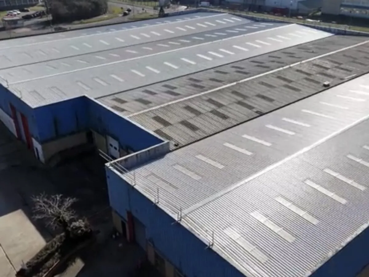
Before capture, define the roof areas, details, and decision the owner needs to support. An image set may help locate visible debris, surface wear, apparent ponding, displaced items, or areas hidden by rooftop equipment. It can also create a broad visual reference for comparing later visits. We confirm safe launch and landing areas, nearby operations, access restrictions, and any part of the roof that cannot be captured clearly. The scope describes the image coverage so a reader does not assume a blank or obscured area was inspected.
Where image review identifies a concern, we mark its location and recommend a direct check when the condition cannot be confirmed from above. A hands-on inspection can examine seams, penetrations, and transitions, while a moisture survey may guide further testing under suitable conditions. Drone photography can support that sequence, but it does not measure hidden insulation condition or establish whether an attachment is sound.
Separate visible patterns from confirmed defects
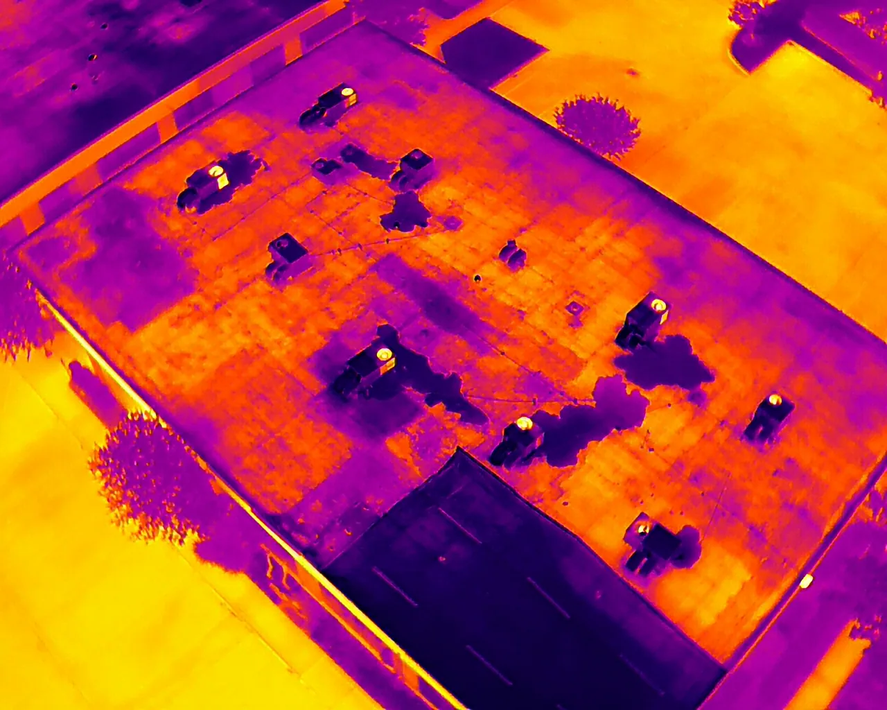
Light, viewing angle, reflections, shadows, dirt, and roof texture can change how a surface appears in an image. A darker area is not automatically wet, and a visible seam line is not proof that a seam has opened. We review images with the roof plan and available repair history, identify patterns worth checking, and avoid assigning a cause that the image cannot support. If a location is obscured by equipment or glare, the report records that limitation and sets a path for another observation.
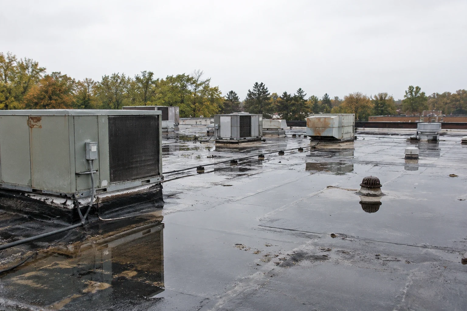
For an active leak, a leak assessment pairs interior reports with roof-level checks. A ponding-water review may need slope or outlet evaluation beyond image capture. The owner can then distinguish a visual note from a measured condition and direct inspection resources where they will answer a specific question. This prevents a broad image set from being treated as a full condition report without the supporting field work.
Use repeat imagery as a comparison tool
Images become more useful when the owner can compare similar roof areas over time. Keep capture dates, camera views, roof-area labels, and reported repairs together. Where the view changes, note whether access, equipment, season, or lighting limits a direct comparison. A repeated image may show a visible change, but a technician should still check the material before turning that pattern into a repair scope. The report states what can be compared and what needs a closer look.
A photo-backed condition report can pair selected images with field findings, while a roof-area register can track dates, repairs, and open items. For portfolios in Olathe and Lenexa, a common labeling method helps compare buildings without mixing their conditions. Owners can use the image record to schedule a hands-on visit or carry a documented question into the next capital review.
More About Drone Roof Inspection in Olathe, KS
Coordinate capture with property operations
Drone work requires site coordination before equipment is brought to the property. We confirm access, safe operating areas, people moving below the flight path, roof access points, and restrictions set by building operations. Weather or site activity may delay capture, and the report should note any area left out. For occupied buildings, the contact should know when imagery is planned and which spaces may need to be kept clear during launch and retrieval.
Along the K-10 corridor, a manager may coordinate multiple Olathe and Lenexa sites in one schedule, but each property needs its own approval and operating contact. Flights for Olathe sites can be grouped with neighboring ones. We keep image files and Diligence Notes organized by building, then identify whether the next action is a walk, direct test, repair assessment, or no immediate work. The owner has a clear record of the method and its limits.
Connect image findings to an action
Each report should end with a practical next step. A visible concern may call for a hands-on check, a leak investigation, or a repair estimate; an image without a material defect may simply become part of the baseline. We identify who should review the finding and what additional evidence would change its priority. When a broader replacement decision is being considered, imagery is one input beside field condition, repair recurrence, access, and concealed conditions.
Owners can keep the image record with a capital planning review and compare it with later inspections. Olathe properties near Lenexa may share a portfolio calendar, yet each roof area retains its own findings and access notes. The value comes from a traceable observation and a clear decision path, not from the number of images captured. If direct inspection is required, we state it plainly and schedule the right method.
Commercial Roofing Questions
Can drone photos replace a hands-on commercial roof inspection?
No. Overhead imagery can document broad visible areas and help direct attention, but it cannot confirm adhesion, fastening, concealed moisture, or every detail condition. A hands-on visit remains necessary when those questions matter. The report should say which areas were imaged, what could not be seen, and which observations need physical verification before repair or replacement decisions are made.
What roof conditions are visible from overhead images?
Depending on image quality and roof conditions, the capture may show apparent surface wear, debris, equipment layout, visible ponding, or displaced objects. Shadows, glare, texture, and obstructions can affect interpretation. We label a pattern as an observation and recommend a direct check when the image cannot establish the cause. That distinction keeps an owner from budgeting a repair from an uncertain visual cue alone.
Can repeat drone imagery show whether a condition has changed?
It can support comparison when roof areas, views, labels, and capture conditions are reasonably consistent. Different lighting, season, access, or equipment can make images harder to compare. We keep those limits with the record and use repeat imagery to identify locations for closer review, not to infer hidden material changes. A technician can then confirm whether the visible difference requires a repair or another form of testing.
What access and site details should be arranged in Olathe?
Provide the property contact, roof-area plan, access rules, operating schedule, and any area that must remain clear. Identify people or activity below the planned operating area. Weather may change the schedule, so confirm who receives updates and how a deferred area will be handled. Each building in Olathe or Lenexa needs its own approval and image record.
What should happen after an image flags a possible defect?
Mark the roof area and decide what direct check can confirm the observation. A hands-on inspection, moisture test, or repair assessment may fit the question. Name the next action and responsible contact, then keep the finding open until evidence supports a conclusion. If no defect is confirmed, record that result rather than leaving the image annotation as an unresolved repair item.
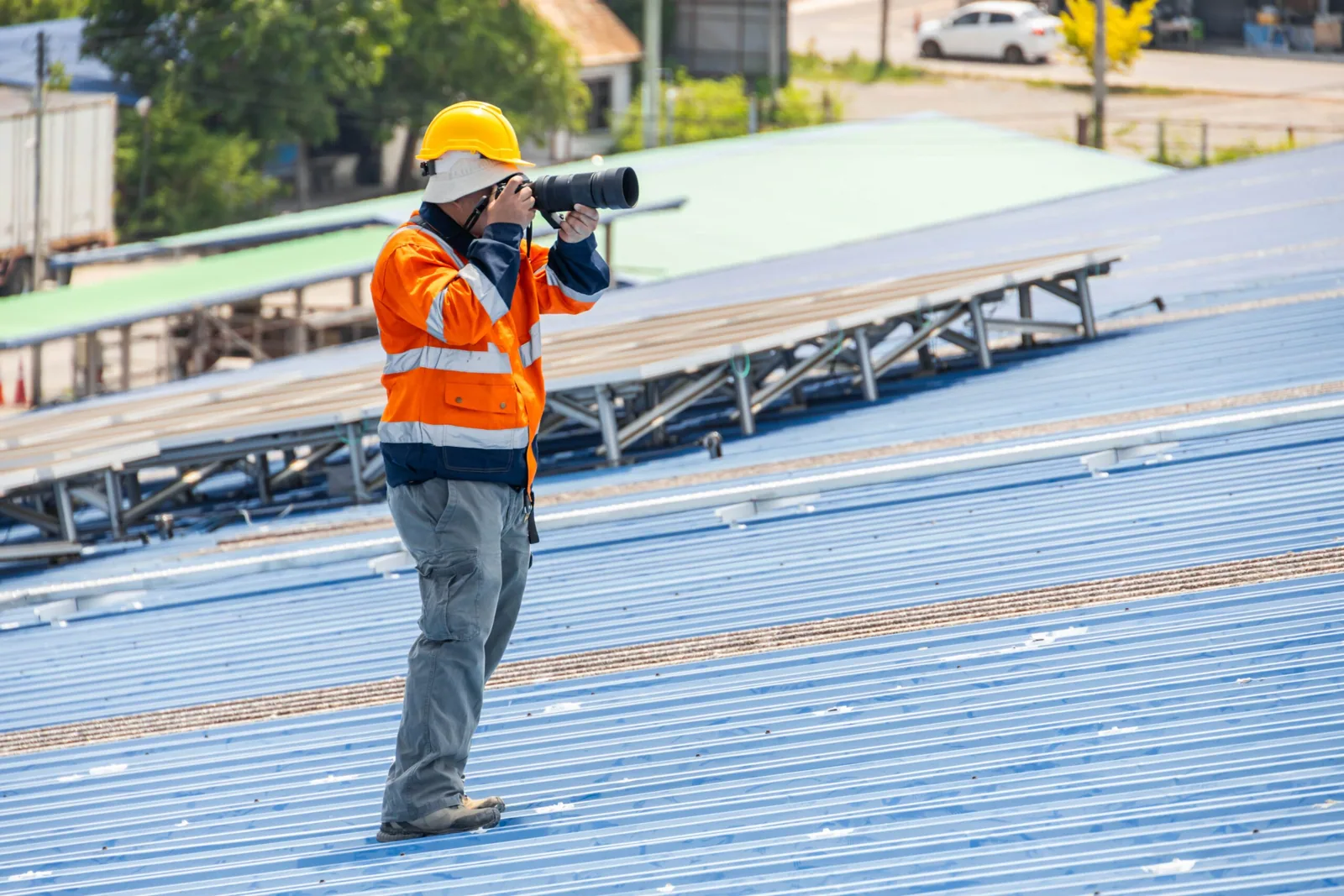
Use imagery to direct the next inspection
Share the roof plan, property contact, access limits, inspection question, and available prior images. We can document visible areas, state where verification is needed, and connect the findings to a practical next step.